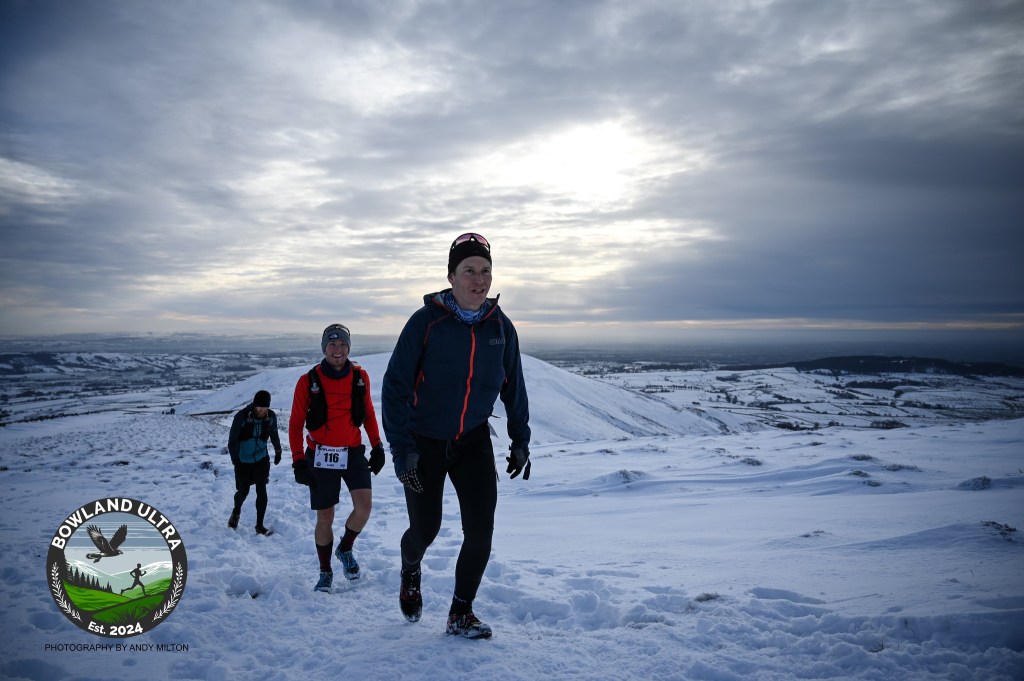
The route is a unmarked course covering a wonderful mix of shooting tracks, techy singletrack, road and sections of bog. Following feedback from the 2024 event, we have improved the route to keep the sections that everyone loves and drop the segments that weren’t as popular. We are still using fantastic local village halls to offer warm and welcoming checkpoints, and a route that should allow for a safe event despite the potential winter weather.
The 2026 route is the same as the 2025 route, but is different to the 2024, so please use the link below to take a look and refresh your memory.
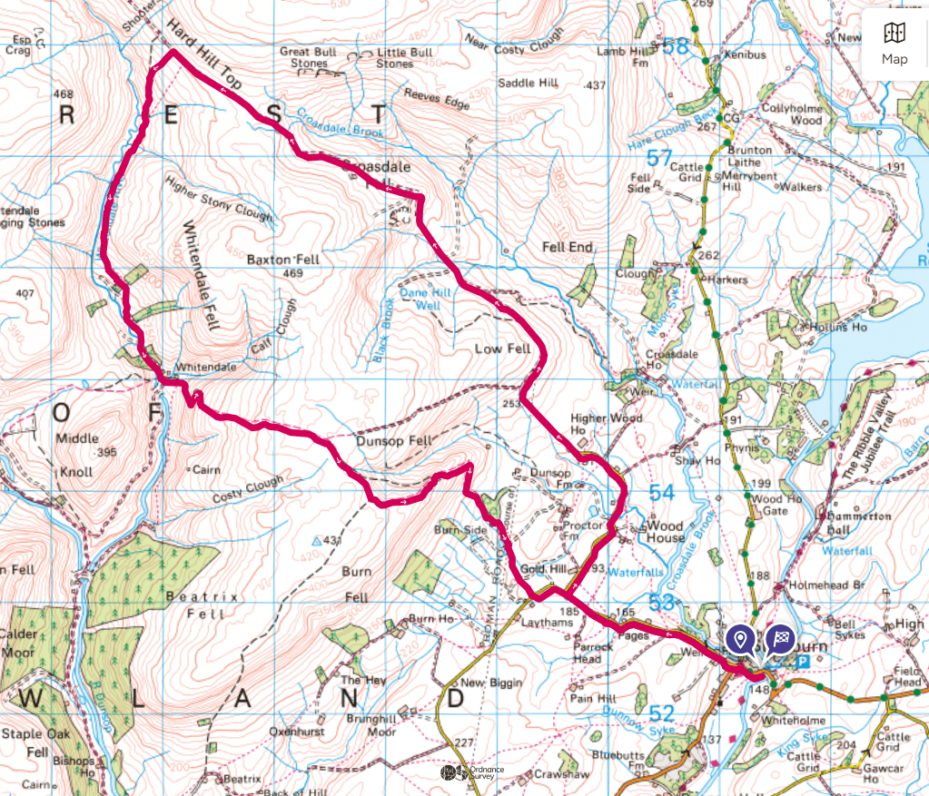
Starting and finishing at Slaidburn, gateway to the Forest of Bowland, the 40 mile (65km) route with 2,000m of ascent will challenge and excite runners of all calibres. But with 4 full equiped aid stations, and with safety teams on the hill, every runner who toes the start line will have a fighting chance of taming the beast of Bowland.
The Bowland Trail Half follows the same start and end as the Ultra, using aid station 1 at Whittendale farm to back to Slaidburn. The route is unmarked but will have marshals on the course keeping track of runners and offering help where needed.
A map will be provided at registration, and it is reccomended that runners load a GPS or similar device but should be prepared to rely on analogue navigation as cold weather will drain battery life on devices.
Aid stations will provide warm drinks, soups and sandwiches and CP3 a pasta meal.
We found in the 2024 event no one was timed out, and we hope to continue this and welcome runners of all speeds. In 2025, due to the severe weather we did enforce cut off times, but these affected very few of our runners and we hope that everyone enjoyed themselves regardless of where their race ended.
The GPX will also be sent by email to all entrants in their final pre race email. The route listed below and on Gdrive, is available to recce by the public, since the route follows footpaths and open access land, but please remember to follow the Countryside code at all times: leave gates as you find them, pick up any litter you see, and be polite to other land users.
The route GPX will be updated and modified as we find surprises on the course- broken stiles, newly planted hedges or places where the real footpath on the ground deviates from the footpath on the map. Keep an eye on out social media accounts for updates to the route and check you have the final correct GPX sent out in the final updates email. If you find a section of the course you think we should know about please use the contact us section on this website.
Fans and spectators are welcome to cheer and provide moral support, but should not offer equipment or material help (including pacing). Aid station 1 is on private land and spectating vehicles are not welcome. We would reccomend the Langdon Brook car park (listed on google maps) as a good point to view runners.
| Checkpoint | Grid Ref | Mile/Km | What’s Provided | Cut off times |
| Whittendale Farm | 65970 54932 | 8/13 | Squash, water, light snacks | |
| Bleasedale Village Hall* | 57368 45334 | 18.5/29.7 | Tea, coffee, squash, water, biscuit selection, bananas, crisps, vegetable soup (suitable for vegans), rolls and sandwiches | 1430hrs** |
| Chipping Village Hall* | 62077 43228 | 26/41.2 | Tea, coffee, squash, water, cola, biscuit selection, bananas, crisps, pasta (GF option available) | 1800hrs** |
| Dunsop Bridge Village Hall* | 6569 5008 | 32/52 | Tea, coffee, hot chocolate, squash, water, biscuit selection, crisps, vegetable soup (suitable for vegans), rolls, rice pudding and sandwiches | 2200hrs** |
| Finish! Slaidburn Village Hall* | 7135 5232 | 42/68 | Hot and cold drinks, cake, finishers meal | 0000hrs Sunday** |
**See comment above in text re cut off times. Only applied if needed for safety.